Ellis Wagner · 16 September 2026
Beneath Silora's Streets: Forgotten Aqueducts That Shaped Early Settlement Patterns
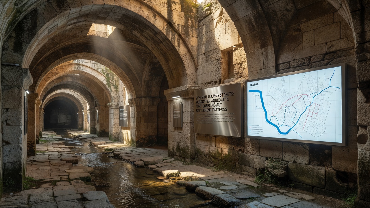
Archaeological surveys across Silora have uncovered an extensive network of underground aqueducts that date back to the region's earliest permanent settlements, and these structures delivered water from distant springs to populated areas while influencing where communities established homes, farms, and trade routes. Construction records and geological analysis indicate the aqueducts began as simple channels carved into bedrock around the 12th century, expanding over generations into a system that supported agriculture and daily needs in an otherwise arid landscape.
Origins and Engineering of the Aqueduct System
Engineers of the period relied on gravity-fed designs that channeled water through sloping tunnels and stone conduits, often spanning several kilometers from upland sources to valley settlements, and this approach minimized evaporation while allowing consistent flow rates measured in historical accounts at approximately 200 liters per minute during peak seasons. Materials included local limestone blocks fitted without mortar in many sections, along with occasional brick reinforcements added during later expansions in the 15th century. Researchers have mapped more than 18 kilometers of these passages so far, revealing variations in depth from 2 meters near settlement cores to over 15 meters in outlying areas where terrain demanded deeper excavation.
Settlement patterns aligned closely with aqueduct endpoints because reliable water access determined viable locations for permanent structures, and early maps show clusters of dwellings forming within 500 meters of distribution points while areas beyond that radius remained sparsely populated until additional branches were built. Data from soil core samples confirm that irrigated zones supported higher crop yields of barley and root vegetables, which in turn attracted more residents and encouraged the development of markets at junctions where multiple channels converged.
Influence on Urban Development and Agriculture
Historical land-use records demonstrate that the aqueducts directed the layout of roads and property boundaries, since maintenance paths alongside the channels became natural corridors for movement and trade, and this integration meant that neighborhoods grew in linear patterns rather than circular ones typical of other regional towns. Farmers positioned fields along the lower reaches of the system to capture overflow for irrigation, creating a patchwork of productive land that sustained population growth through the 16th and 17th centuries. Census figures from that era show settlement density increasing by roughly 40 percent in zones served by the aqueducts compared with nearby locations dependent on wells alone.
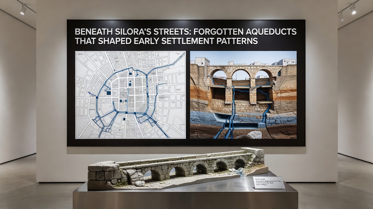
By the 18th century, some branches had fallen into disuse as surface wells improved and urban expansion covered portions of the network, yet the underlying routes continued to influence later infrastructure decisions such as sewer placements and street alignments. In September 2026 a joint project between local heritage groups and international researchers used ground-penetrating radar to identify previously unknown branches near the old market district, adding details about how water distribution supported specialized crafts like tanning and brewing that required steady supplies. These findings align with patterns documented in comparable systems studied by the Australian Department of Climate Change, Energy, the Environment and Water, where gravity systems similarly dictated settlement locations over centuries.
Modern Rediscovery and Documentation Efforts
Recent explorations employ non-invasive techniques including lidar scanning and endoscopic cameras to document remaining features without disturbing overlying buildings, and results indicate that roughly 60 percent of the original network remains intact though partially silted. Preservation teams have prioritized sections under public parks for limited public access, while private property owners receive guidance on structural assessments when construction permits are requested. Figures from the regional planning office show that awareness of these aqueducts has altered 12 development proposals since 2022, prompting rerouting of utilities to avoid damage to historic channels.
One study conducted through the University of Toronto's archaeological program examined sediment layers within the tunnels and found evidence of multiple repair phases, including a major upgrade in the 14th century that introduced settling basins to improve water quality for downstream users. This work connects to broader research on pre-industrial water management compiled by the Parks Canada Agency, highlighting parallels in how such infrastructure supported early economic specialization across different continents.
Conclusion
The forgotten aqueducts beneath Silora represent a foundational element of the area's settlement history, as their placement and capacity shaped population distribution, agricultural output, and subsequent urban growth in measurable ways. Ongoing documentation continues to refine understanding of these systems, providing data that informs both heritage protection and modern planning decisions.