Amir Schmidt · 2 September 2026
Monitoring Programs Reveal Insights into Silora River Ecosystem Health
Program Overview and Methods
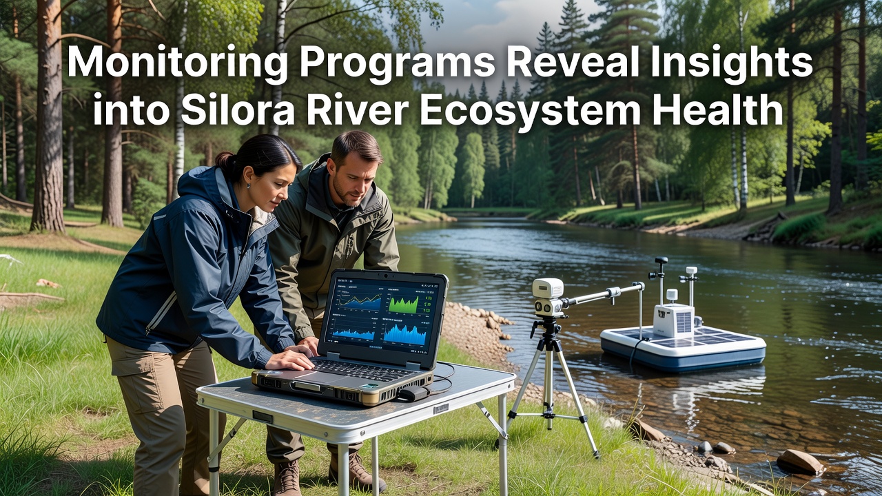
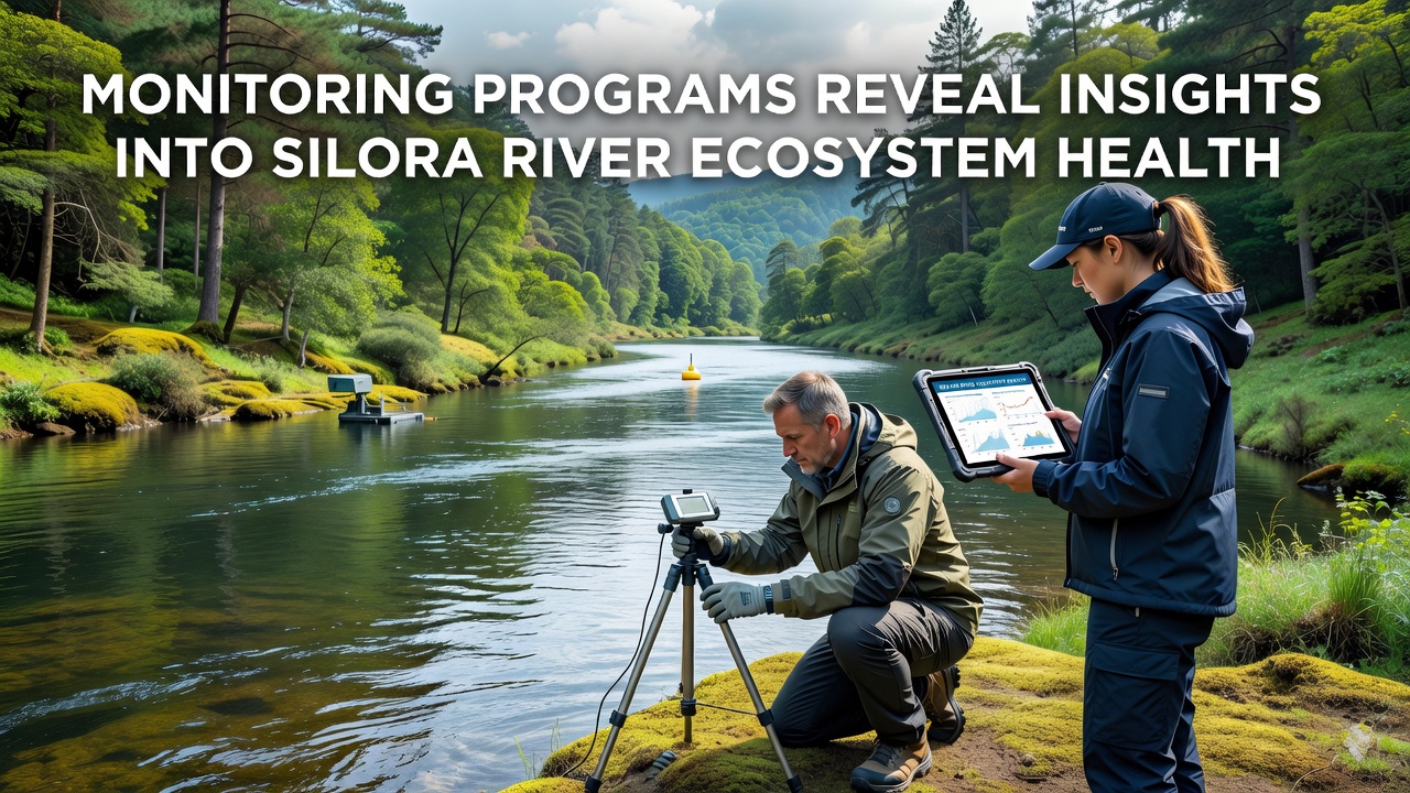
Monitoring initiatives along the Silora River track water chemistry, sediment composition, and biological indicators through a network of automated sensors and periodic field surveys that began in early 2023, and these efforts combine real-time data collection with laboratory analysis to assess conditions across multiple sites from the upper tributaries to the river's lower reaches. Teams deploy probes that measure dissolved oxygen levels, pH values, and nutrient concentrations at hourly intervals while quarterly biological assessments catalog macroinvertebrate populations and fish species presence. Data from these combined approaches feed into centralized databases that allow comparison against historical baselines established in previous decades.
Key Findings on Water Quality
Results compiled through 2025 show nitrate concentrations averaging 2.3 milligrams per liter in the mid-river zones, a figure that sits below thresholds set by several international water standards, while phosphate readings have declined by 18 percent since 2022 according to records maintained by regional environmental agencies. Temperature profiles indicate seasonal peaks reaching 24 degrees Celsius in August, yet dissolved oxygen remains above 7 milligrams per liter during most sampling events. Observers note that conductivity measurements fluctuate with rainfall patterns, rising after heavy precipitation events that carry runoff from surrounding agricultural areas. These patterns align with similar observations reported in studies from comparable river systems in North America and Europe.
Researchers have documented occasional spikes in heavy metal traces near former industrial sites, though concentrations stay within limits outlined in guidelines from the United States Environmental Protection Agency. Sediment core samples reveal gradual accumulation of organic matter, which supports microbial activity that influences overall nutrient cycling throughout the system.
Biodiversity and Species Trends
Surveys conducted between 2024 and 2026 identify 47 macroinvertebrate taxa in the main channel, including several pollution-sensitive mayfly and stonefly species whose presence signals improving conditions in sections upstream from urban centers. Fish counts show stable populations of native trout and increased sightings of migratory species during spring runs, while electrofishing data collected in September 2026 recorded 312 individuals across 12 species at three primary monitoring stations. Amphibian breeding site inventories indicate consistent frog choruses in wetland fringes adjacent to the river, and bird census teams have logged 28 water-dependent species utilizing the corridor during migration periods. These metrics come from standardized protocols that match methods used by Environment and Climate Change Canada in its national river health assessments.
Seasonal Variations and External Influences
Flow rate variations tied to precipitation and upstream reservoir releases affect dilution capacity, and monitoring shows that low-flow periods in late summer correlate with temporary rises in certain contaminant concentrations before autumn rains restore balance. Land use mapping reveals that 42 percent of the catchment remains under agricultural production, where best-practice fertilizer application has contributed to the observed nutrient reductions. Urban stormwater inputs account for localized spikes in microplastics and hydrocarbons, yet filtration wetlands installed at three outflow points have demonstrated measurable capture rates during storm events. Climate data integrated into the programs highlight that average annual rainfall has decreased by 6 percent over the past decade, prompting adjustments in sampling frequency to capture drought-related stress indicators.
Integration with Broader Research Networks
Program operators collaborate with academic institutions that contribute genomic analysis of microbial communities, and these partnerships have identified shifts in bacterial diversity linked to temperature changes. Reports shared through the Australian Government Department of Climate Change, Energy, the Environment and Water network allow cross-comparison with river systems facing analogous pressures. Public data portals release anonymized summaries every six months, enabling independent verification by other research groups. Equipment upgrades scheduled for late 2026 include additional acoustic sensors for tracking fish movement patterns and expanded drone-based vegetation mapping along the riparian zone.
Conclusion
Collective outputs from these monitoring programs supply a detailed picture of the Silora River's current state, highlighting both areas of stability and points requiring continued attention. Ongoing data streams support adaptive management decisions that draw on evidence gathered across multiple seasons and locations, while international linkages ensure methods remain aligned with evolving scientific standards. Continued investment in sensor technology and field verification will sustain the flow of information needed to track ecosystem responses over time.